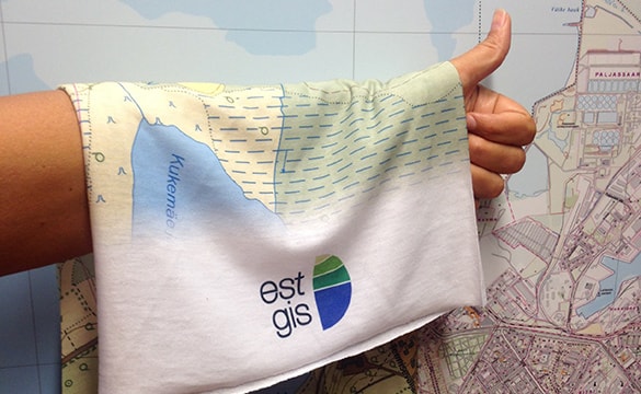
What is ESTGIS?
Estonian Geoinformatics Society (ESTGIS) is an union that represents professionals in geographic information, cartography and other related disciplines in Estonia. The society was established on 30 September 2010 in Tallinn by about 80 specialists. Today, the society has more than 150 members.
News and announcements
Baltic Geospatial Information Technology Conference
Estonian Geoinformatics Society (ESTGIS) annual conference will take place on March 6, 2020 in Riga, University of Latvia. The Baltic…
Read moreEstonian key geodatasets are now Open Data
Estonian National Land Board has opened key country-wide detailed geographic datasets as open data in July 2018. Following datasets (and…
Read moreCartographic conference “Estonian thematic maps
Cartographic conference „Estonian thematic maps“ will be held on March 9.
Read moreEstonian Land Board has completed the LiDAR measurements of Estonian territory
Estonian Land Board has completed the checking of all available LiDAR data.
Read more